
Scribble Maps is a 10 year old enterprise grade mid-range GIS mapping solution. Plot lists, measure distance, find travel times, and more.
Scribble Maps, now 10 years old, makes it easy to analyze and share geographic data. Designed from the ground up to be an easy to use solution, Scribble Maps makes it easy to generate maps of all types, discover trends, and create visual map images for presentations.
Via Scribble Maps connect and API, developers can link into maps created by employees for further analysis or to link into other mapping or GIS flows.
Features Include:
Features are added regularly based on user feedback. Custom development is also a possibility for editor modification or feature development escalation.
Scribble Maps currently scores 92/100 (No. 1 in Geographic Information System (GIS)) in the Geographic Information System (GIS) category. This is based on user satisfaction (94/100), press buzz (58/100), recent user trends (rising), and other relevant information on Scribble Maps gathered from around the web.
| The score for this software has declined over the past month. What is this? |
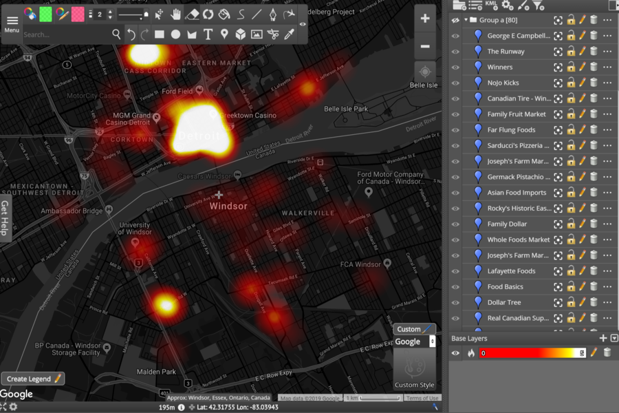
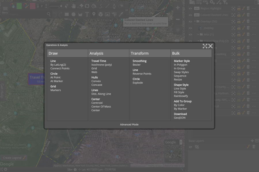
Visualization
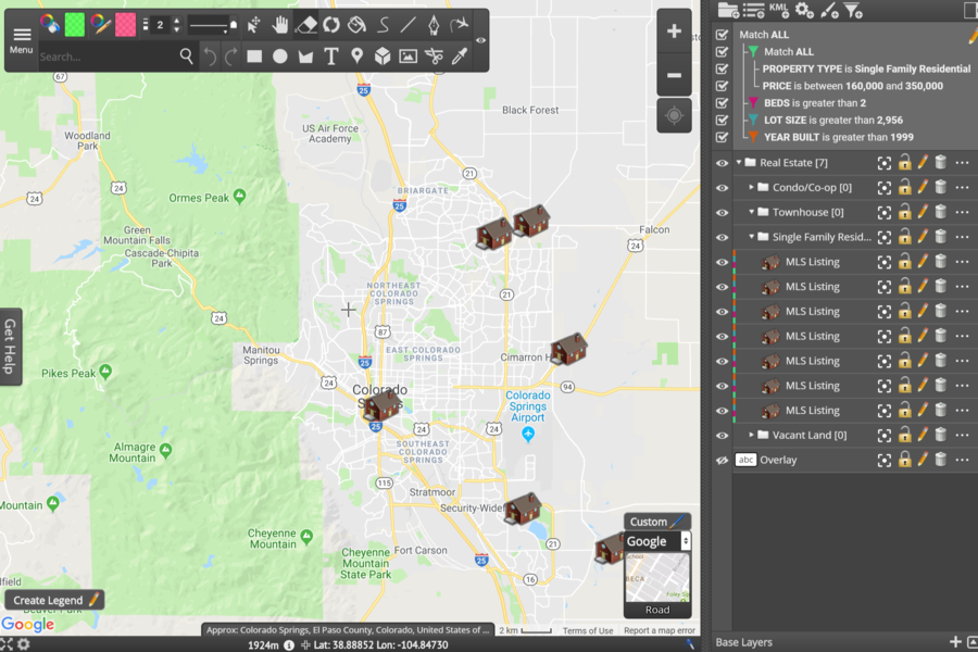
List Mapping
Collaborative Mapping
Affordable GIS
Data Filtering
Generate Map Images
Create Interactive Maps
Map Analysis
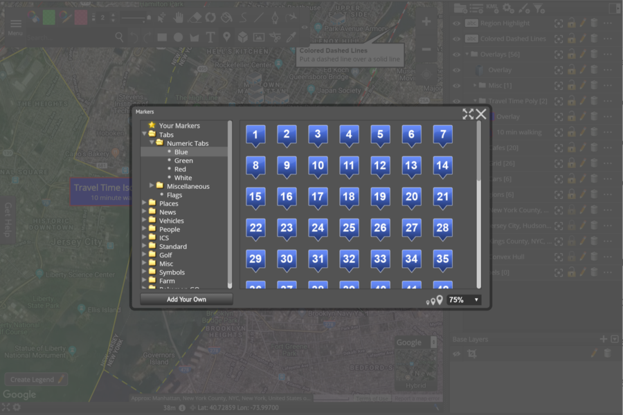
Map Drawing Tools
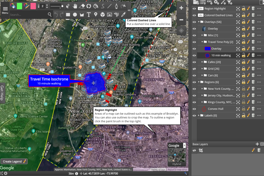
Map Measurement Tools
We offer a team dashboard for managing seats. Every map has user management and maps can be work on simultaneously by multiple team members.
Data can be integrated via KML, WMS, or TMS.
Any kind of map annotation and analysis work.
Scribble Maps is often used to prototype or gather data for applications such as
Yes, we offer video tutorials, written manuals, and 24 hour response email support.
We offer two different APIs.
Javascript API
Allows our editor to be integrated directly into a CMS or website.
Scribble Maps connect
Allows map data to be access via OAuth for registered users.
Data generated on Scribble Maps can be exported as