
Geomodelr is the first web geological modeling platform. It helps geologists to model complex geological settings with simple operations and also to share them and reuse them.
Geomodelr is the first web geological modeling platform. It helps geologists to model complex geological settings with simple operations. Additionally, It helps all geoscientists and related professionals, and organizations that depend on geology to share and reuse geological models. With Geomodelr you can:
Geomodelr currently scores 53/100 in the Oil & Gas category. This is based on press buzz (30/100), and other relevant information on Geomodelr gathered from around the web.
| The score for this software has stayed the same over the past month. What is this? |
Create geological models easily and share them securely without leaving your browser.
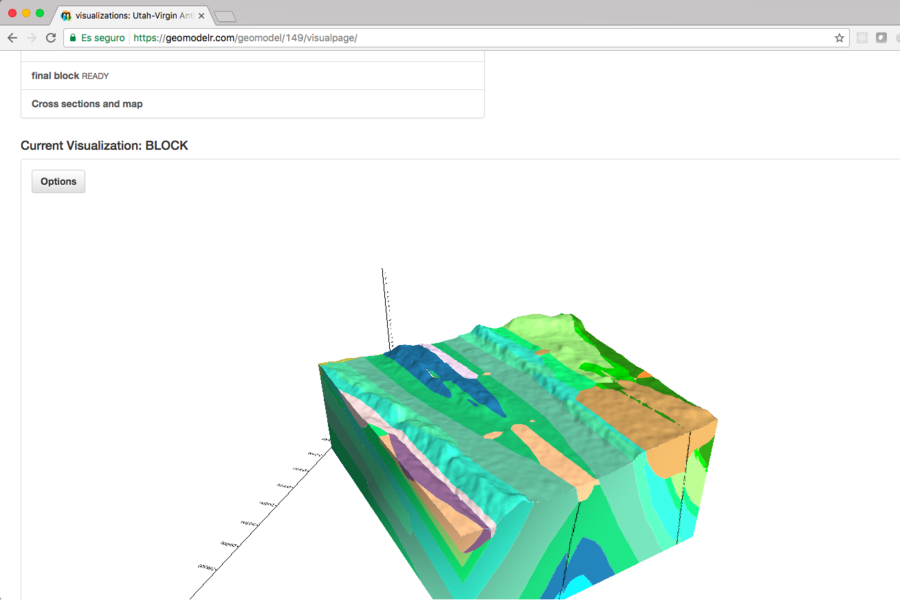
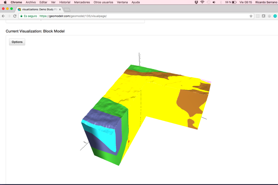
Always solid modeling, your model has a solid definition from your first cross section.
Draw cross sections easily and with simple operations.
Add information from boreholes or dips.
Import and export to ArcGIS maps and geological cross sections.
Use Python to query your model easily, create anything you need after that.
You can use Geomodelr Query Tool, which is a Python program to query your model.
Yes, every study has a permission system with Collaborators, Reviewers and Viewers, which can take advantage of Geomodelr depending on what they need.
Python.
Geomodelr is a web application tested in Chrome, Firefox and Safari.
Yes, we have a tutorial. We have webinars every two weeks for users to quickly browse Geomodelr and take advantage of its powers. We also offer mail support 24 hours a day during workdays.
Geomodelr is intended for geologists. It allows geologists to create 3D geological models easily that are solid by definition and not by work.
They can then share it with engineers in different fields, like Oil & Gas, Mining and Construction. They can also share it with the organization in a way that's beautiful, simple, but yet has all the necessary complexity to accurately represent the geology.
Yes, contact us for documentation.
Create and share geological models.
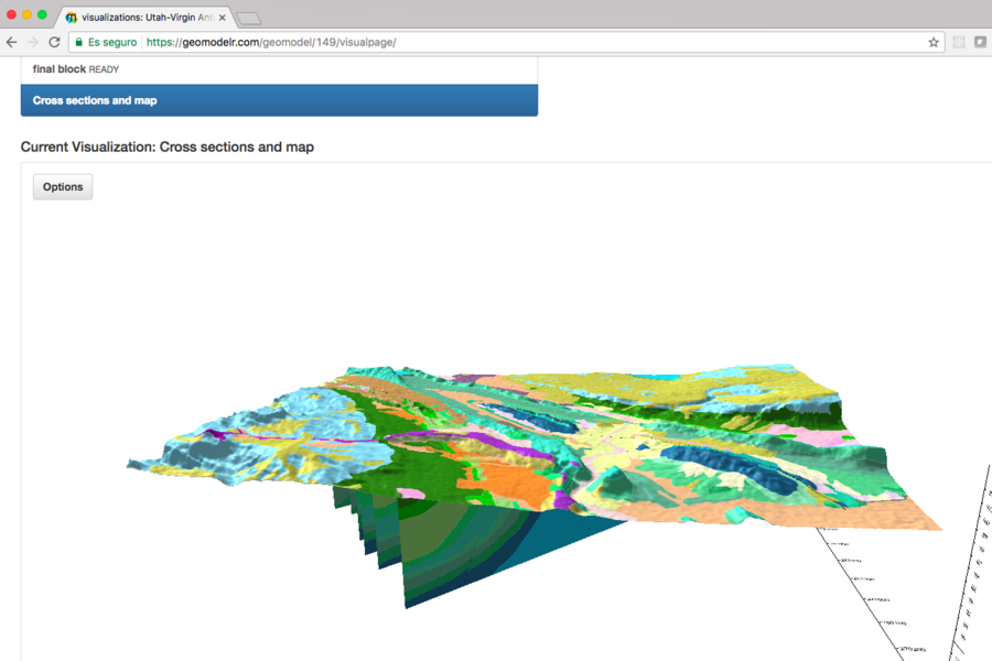
Visualize geological maps, boreholes, cross sections and faults in 3D.
Use Python to query your model and integrate it with everything else.